Here's some photos from our time in the Seattle area and some visits we've made back there since moving to Tucson.
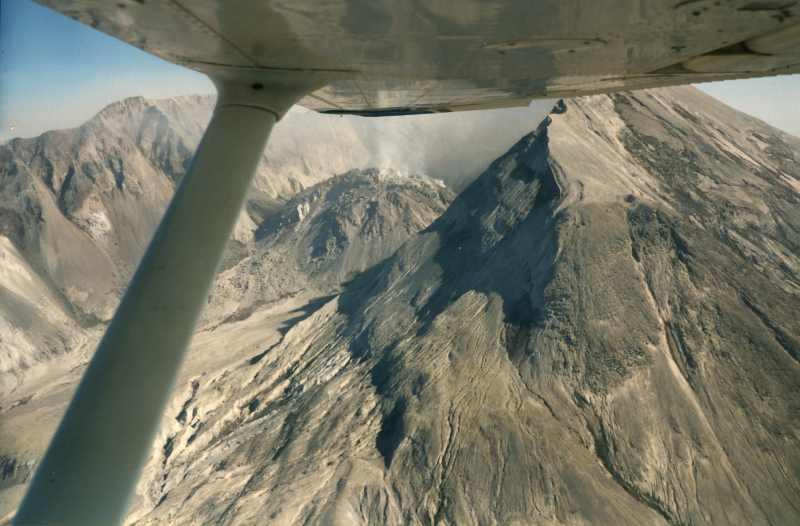
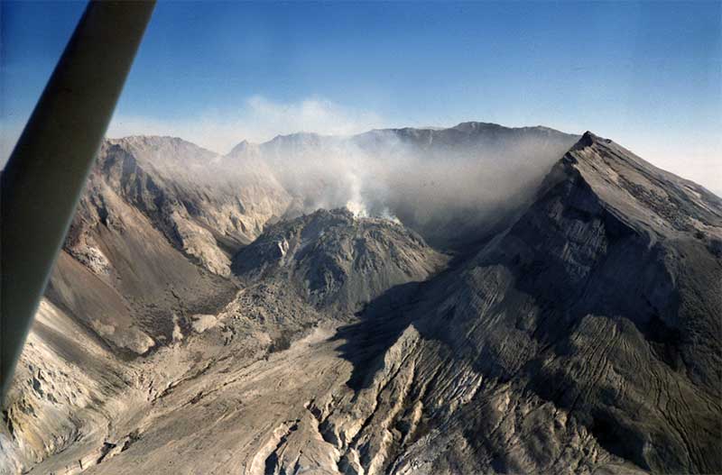
Roughly 1981 or 1982. After Mount St Helens blew we rented a plane and
flew around the mountain for a nice set of views up close.
Candace was flying the plane, I was
taking the photos.
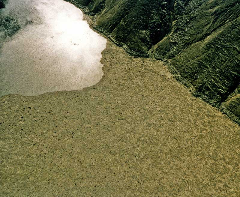
Every one of the trees from the side of the mountain is in that lake!
You can just make them out in this picutre. Those are BIG TREES!!! MILLIONS OF THEM!
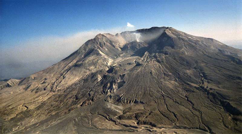
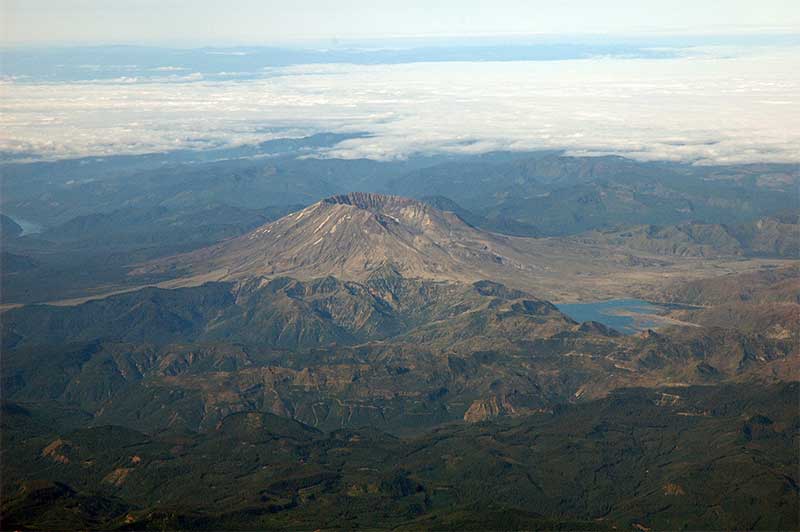
Here's a few shots of Mount St. Helens taken on some airline flights and also from a visit on the ground.
From an August 2004 Alaska Airlines Flight to Seattle
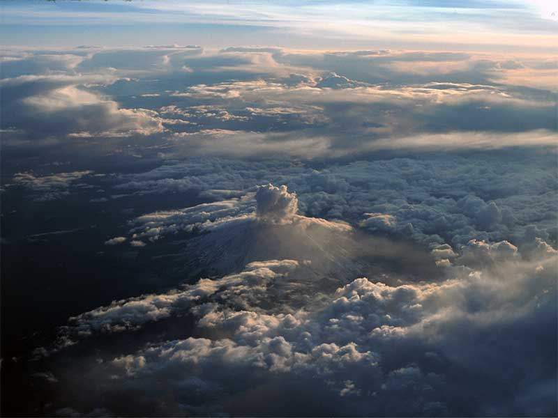
From another (date unknown) Alaska Airlines Flight to Seattle

The driver of this truck went home early with a headache.
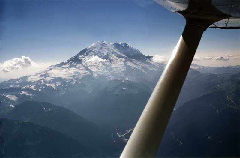
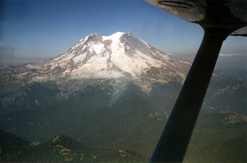
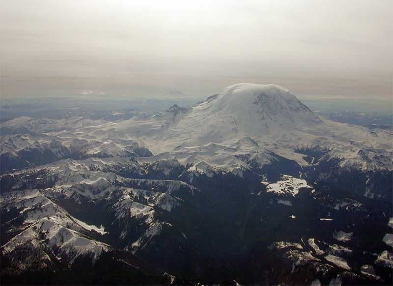
Roughly 1981 or 1982. These were taken on the same flight we made to St Helens.
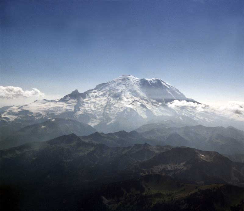
Mt Rainier on the return from St Helens
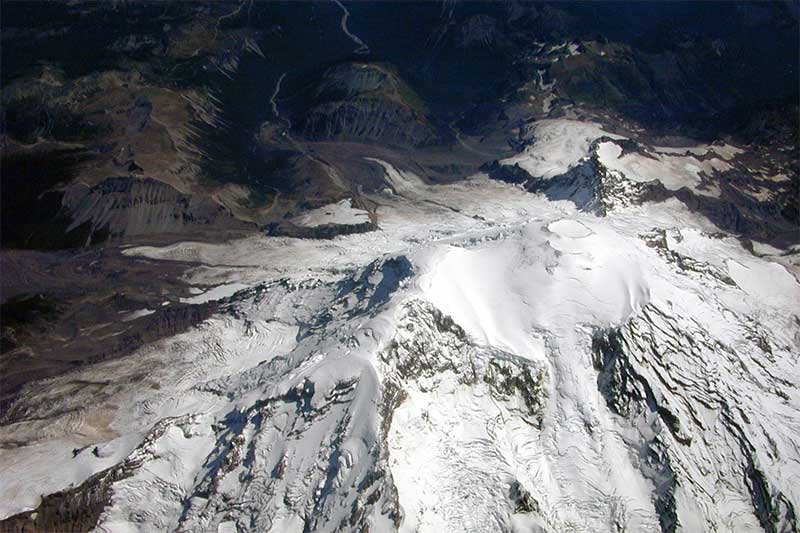
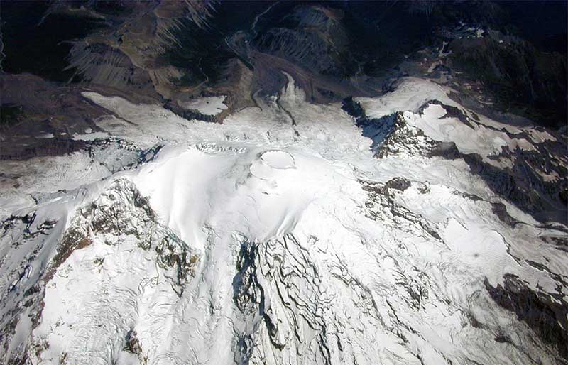
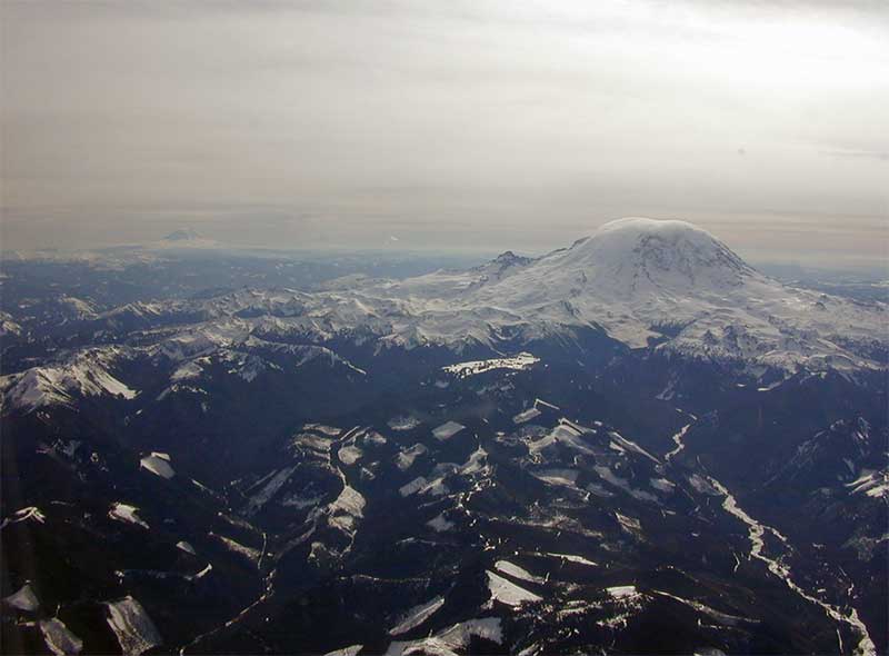
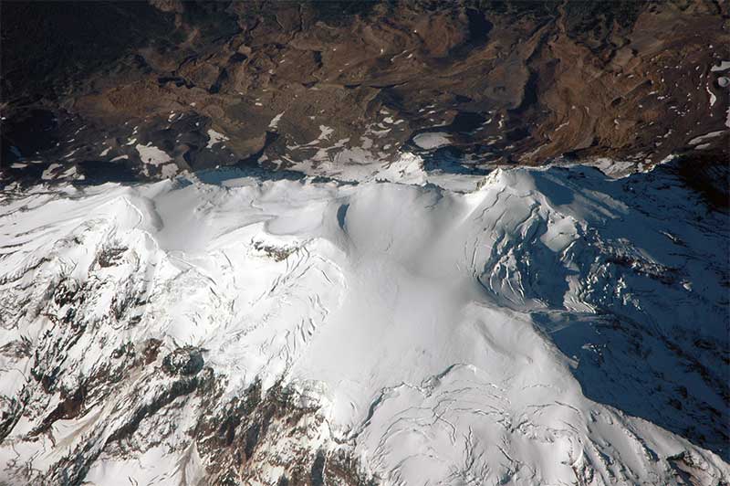
These were taken from the comfort of an Alaska Airlines jet, and a car tour. Various Dates.

Date Unknown.
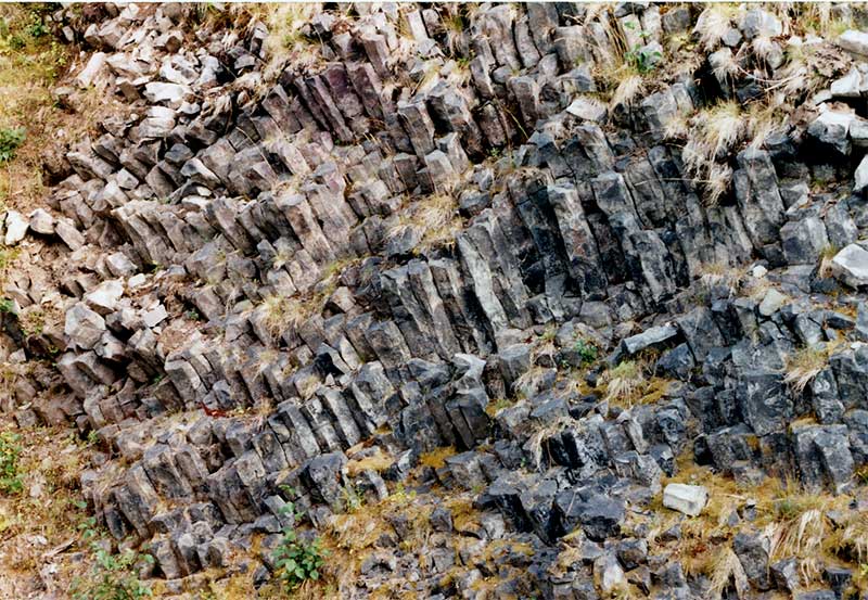
Basalt Columns, by the side of the road in Mt Rainier Nat'l Park.
9/7/2001
9/7/2001
3/4/2002
3/4/2002
8/29/2004

This is Renton Municipal. Boeing makes 737's there.
It's the airport where Mike first learned to fly in 1971 while
in college as part of the AF ROTC program.
Candace took lessons and earned her private pilot's
license there in the early 1990's as well.

Looking north from over the South Center area.
Mercer Island is in the background just beyond Renton airport.

Another shot from SE of Renton Airport. Lake Washington, Mercer Island and downtown Seattle (about 15 miles as the
crow flies) are are visible.
This next set of photos were all taken on an Alaska Airlines flight landing in Seattle on 9/7/2001.
We were returning from a short trip to Tucson for the last time before moving to Tucson permanently.
Seattle put on its best face, weather-wise, in an effort to get us to stay!

Looking over the Des Moines area
Good view of west Seattle
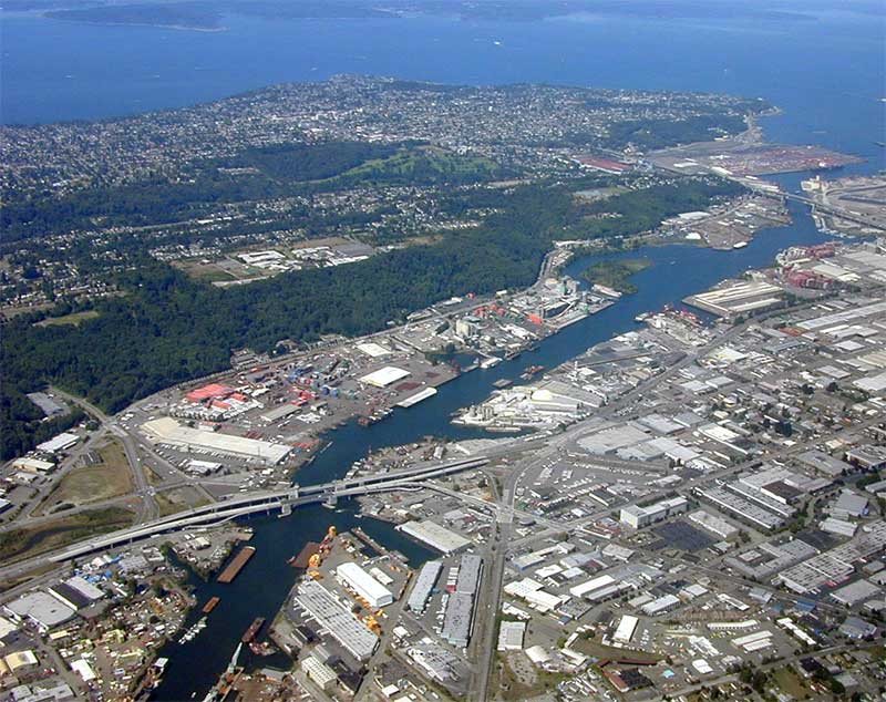
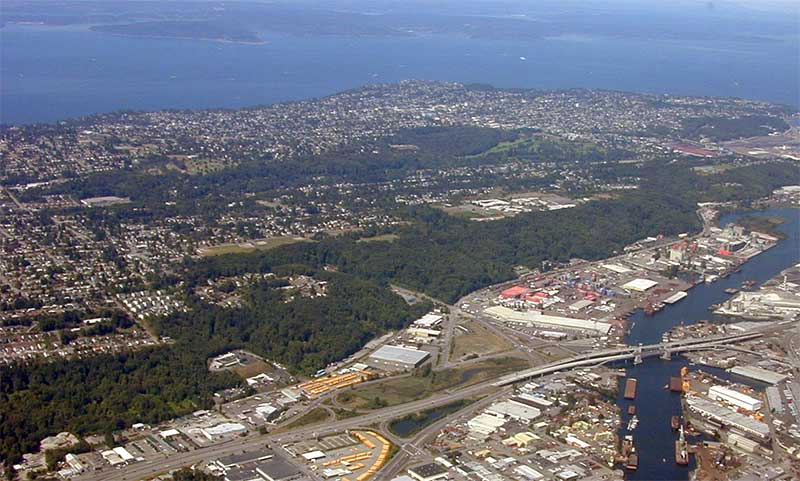
The industrial area south of Seattle
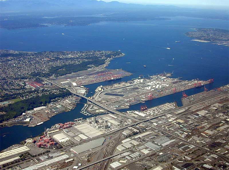
The industrial area south of Seattle

Downtown Seattle. If you look hard you can see the Space Needle just about in the center of the photo.

Downtown, Lake Union and the Ballard Locks

North of the Montlake Cut. U of W. in the lower right area.
Here's a few shots of the general Seattle area. Various Dates and locations.
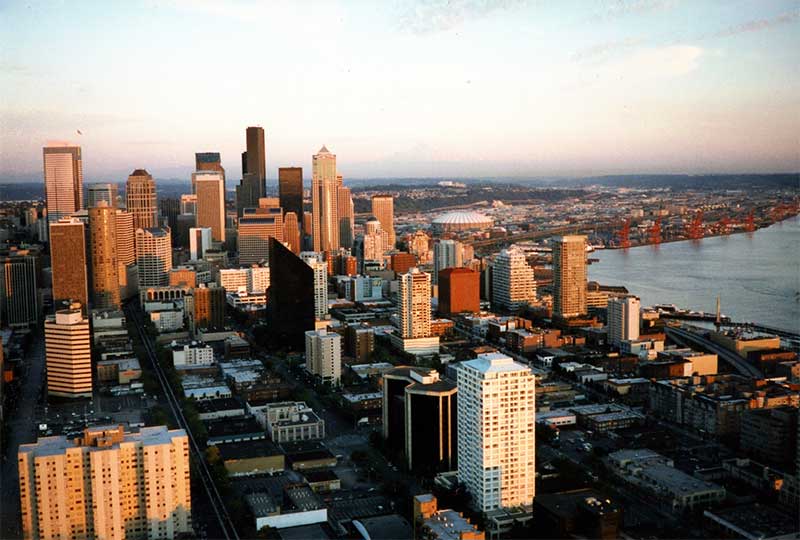
Taken from the Space Needle

Is there ANYONE who's ever been to the Space Needle that hasn't taken this EXACT photo?
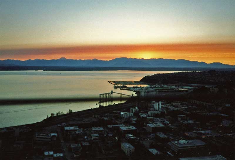
A nice Sunset from the Space Needle

On Lake Washington, Looking towards Mt Rainier
(about 60 miles or so to the South).
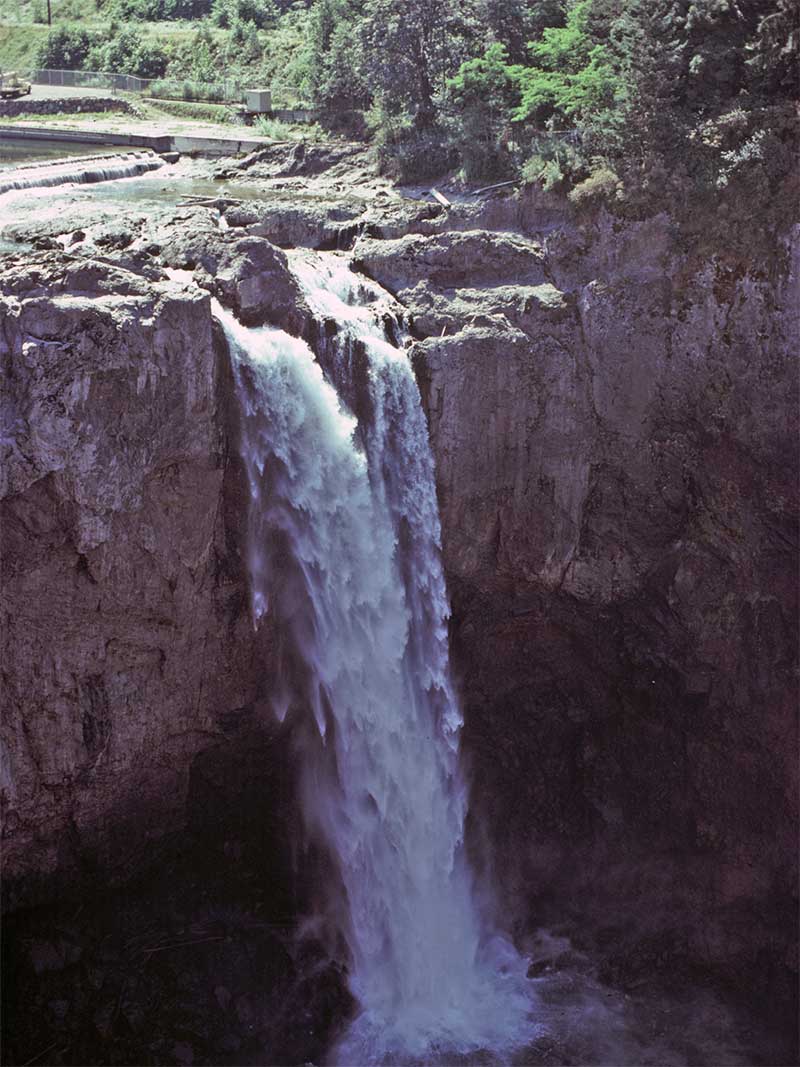
Snoqualimie Falls
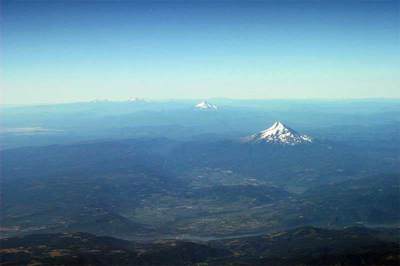
Looking South, from the Vancouver/Portland area.
You can see the Columbia River in the foreground.
Last Update: Wednesday, July 27 2005 (04:06 PM)